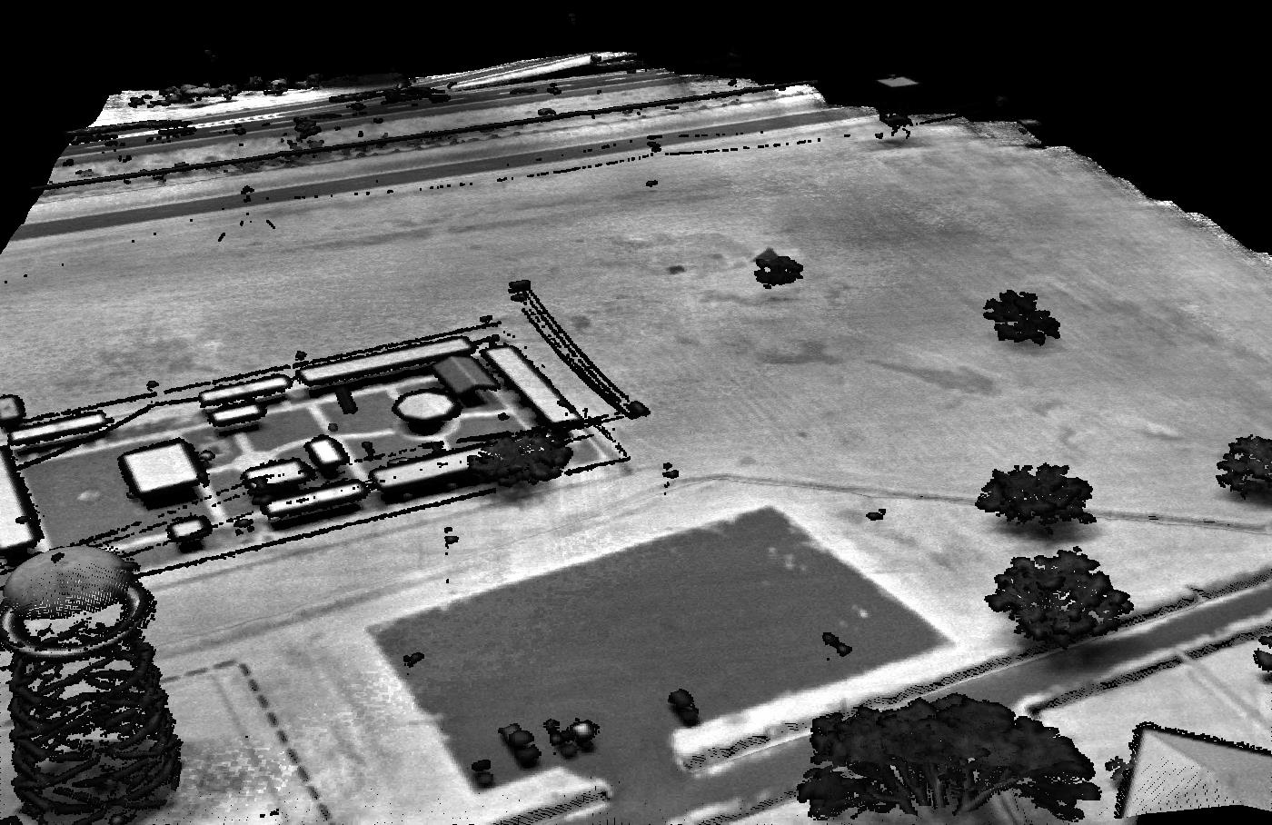
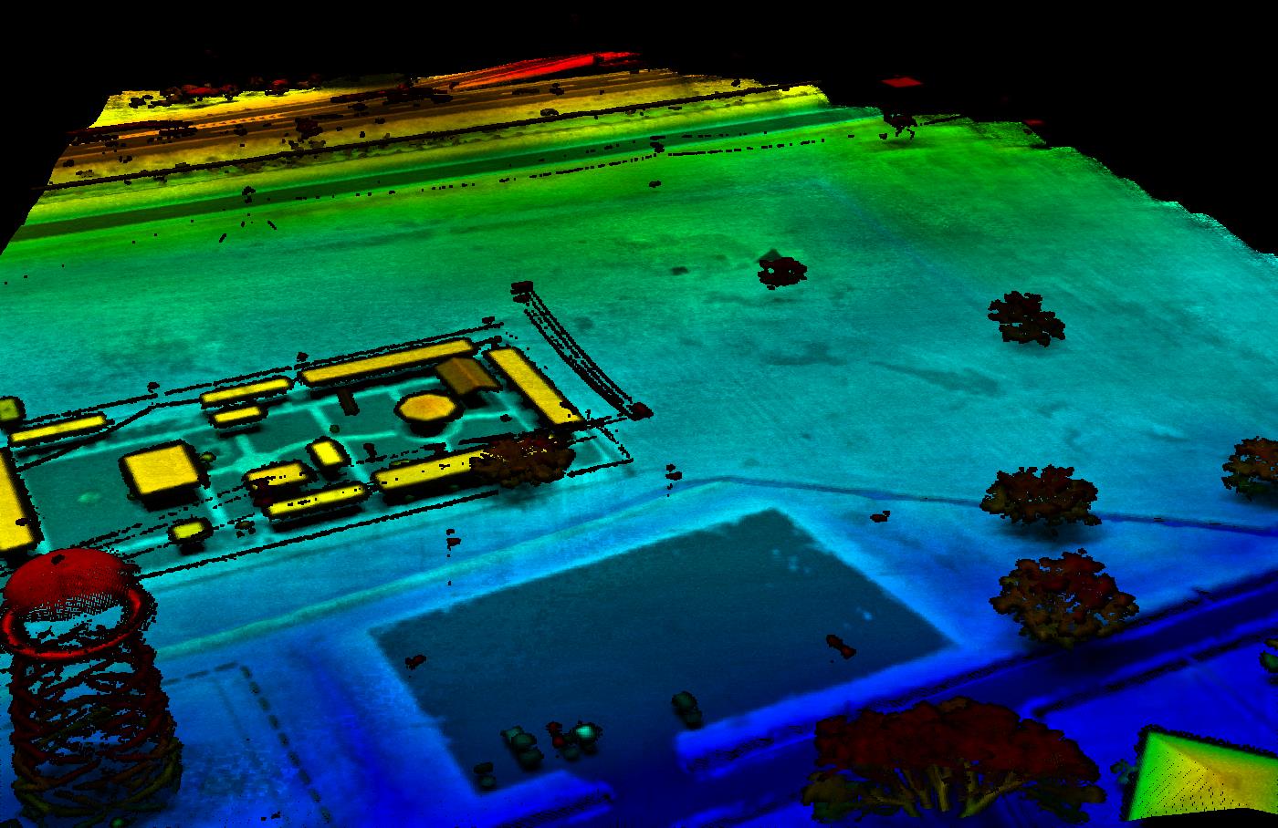
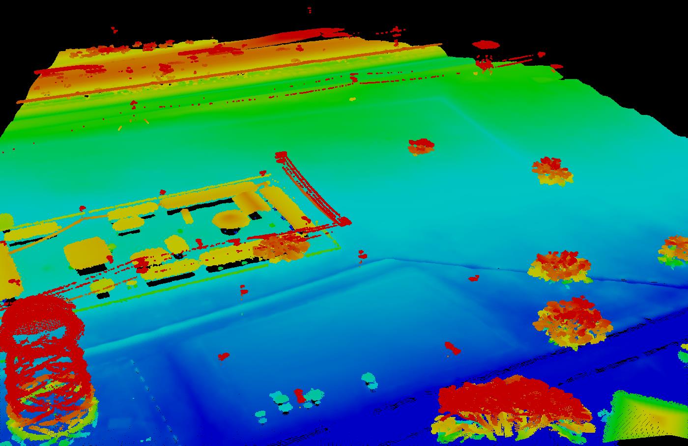

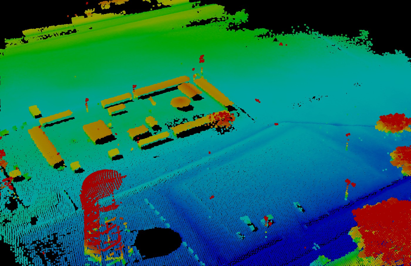
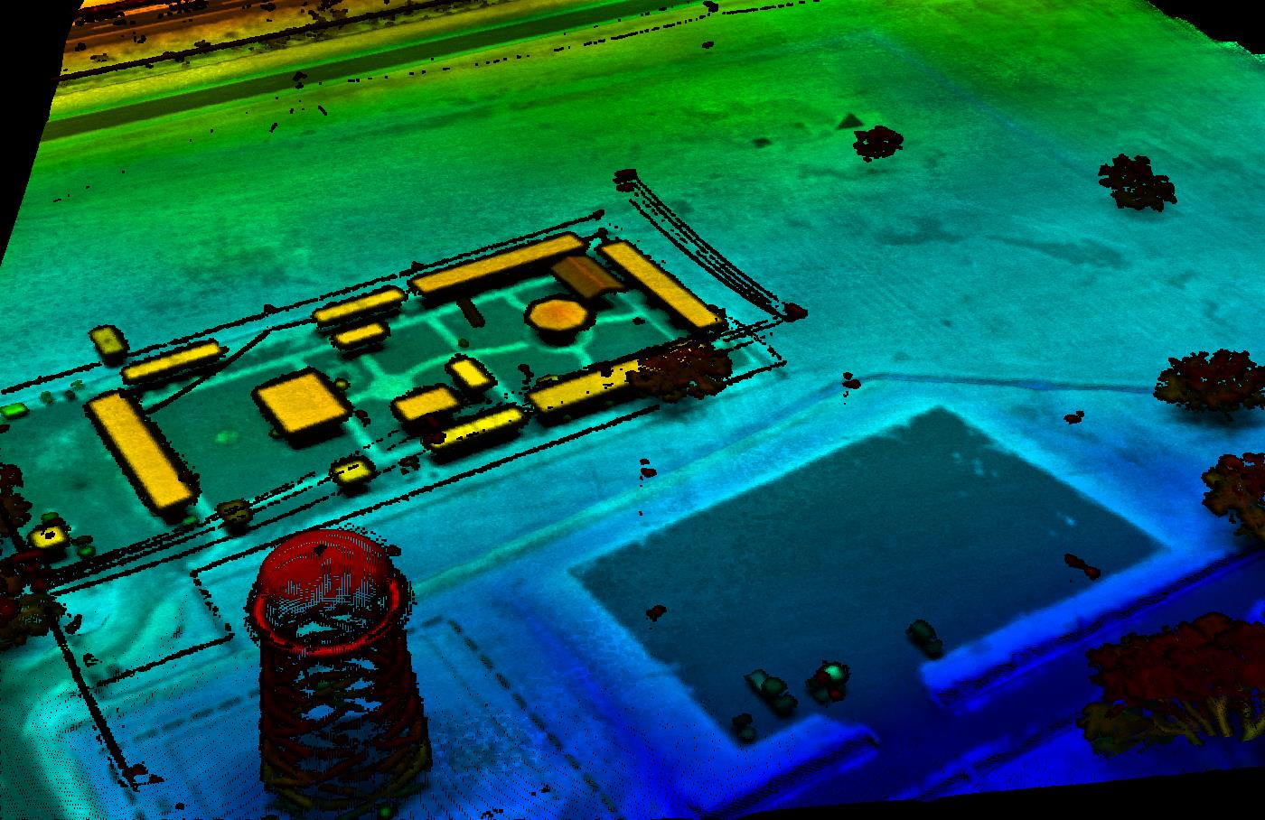
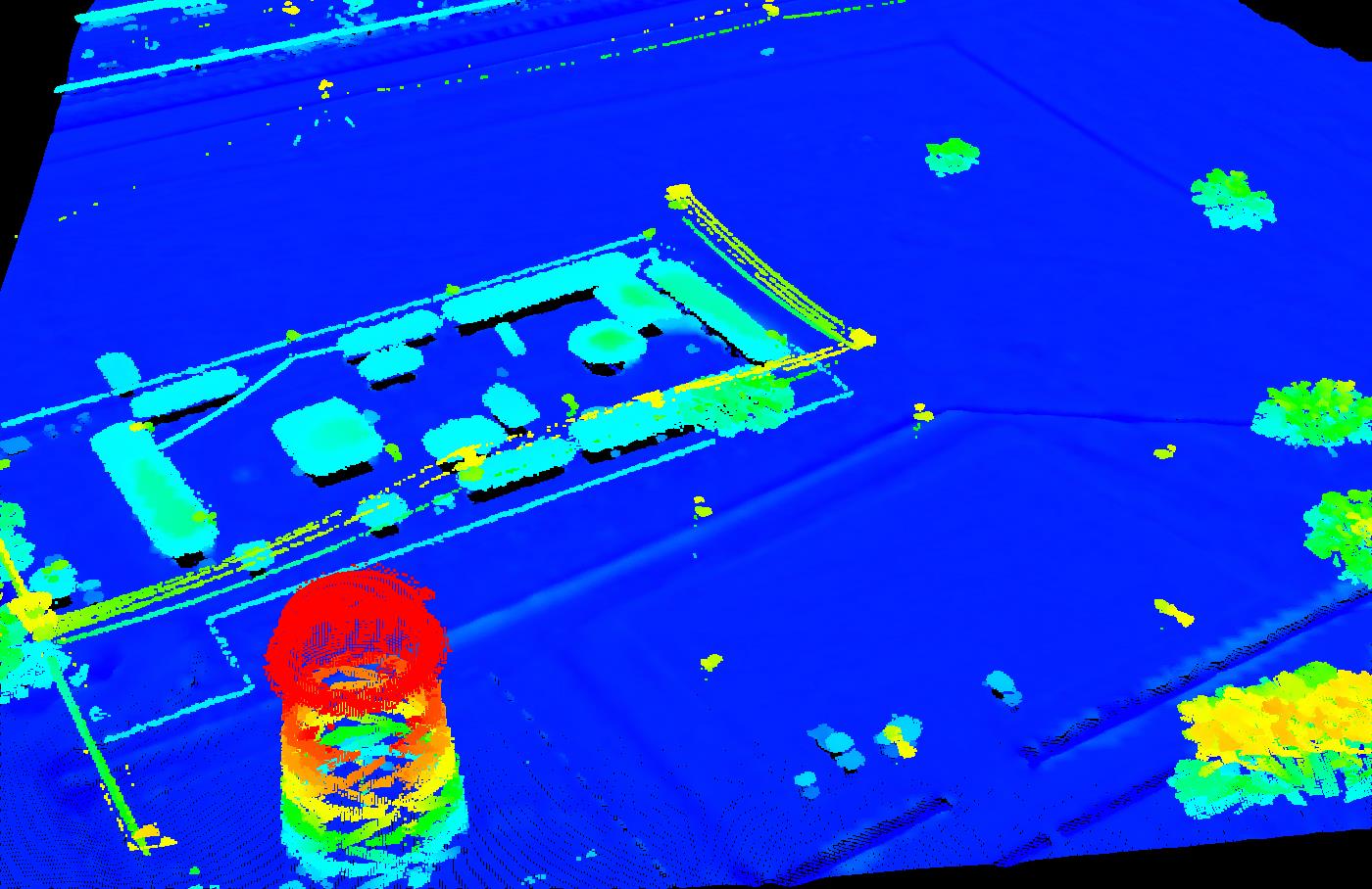
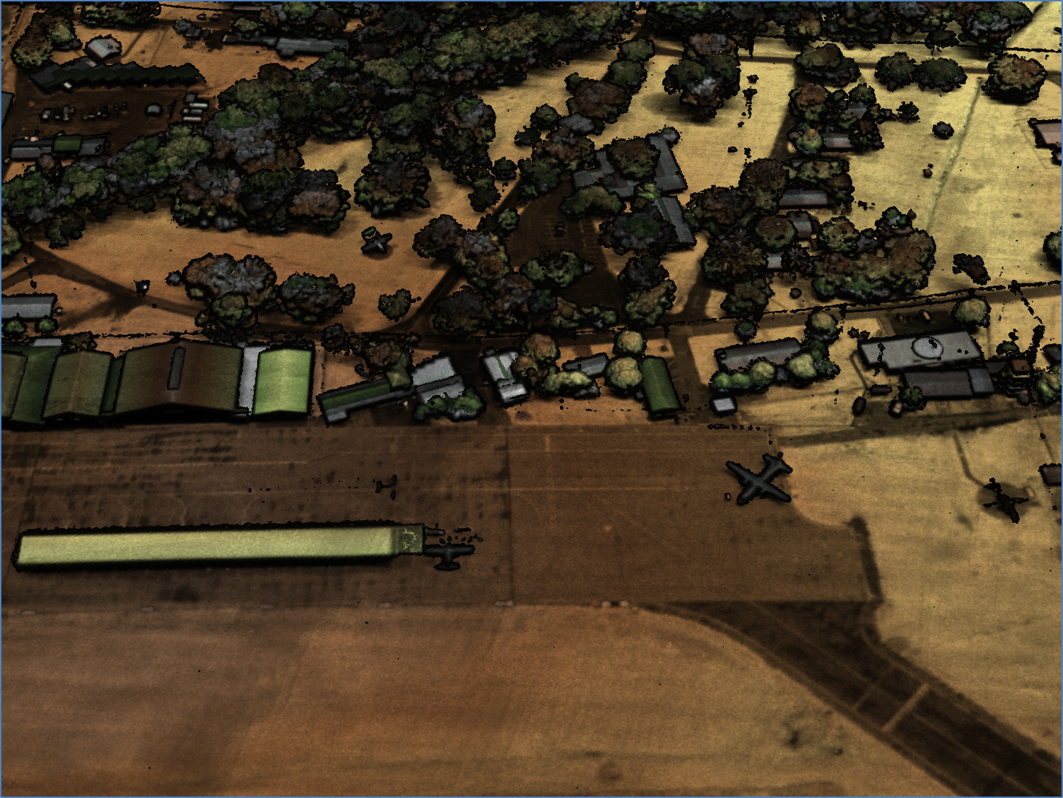
- LiDAR is an active remote sensing technology that employs a LASER as a source of illumination to measure the distance between the sensor and the area of interest
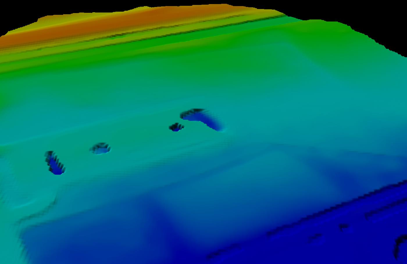
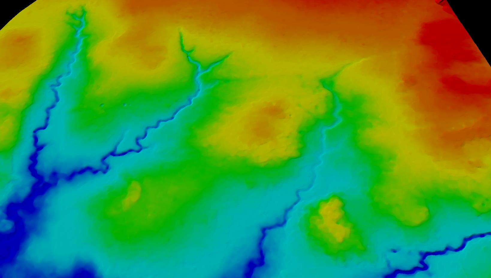
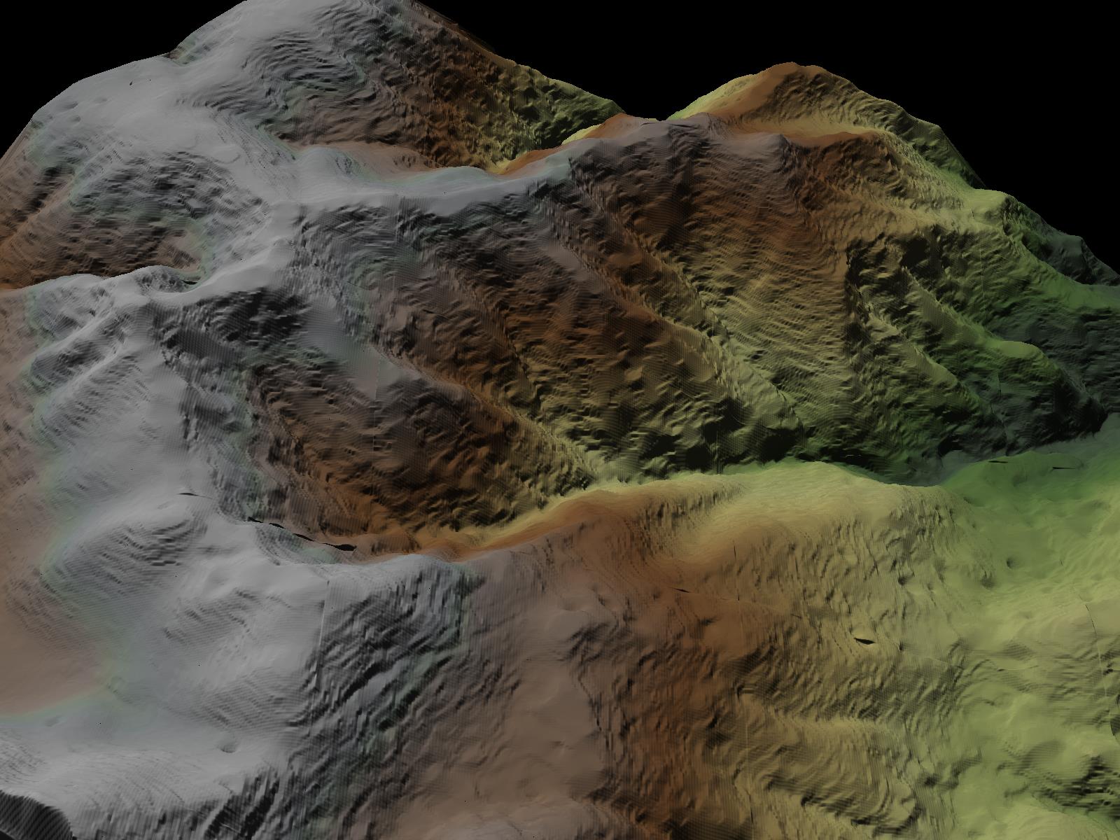
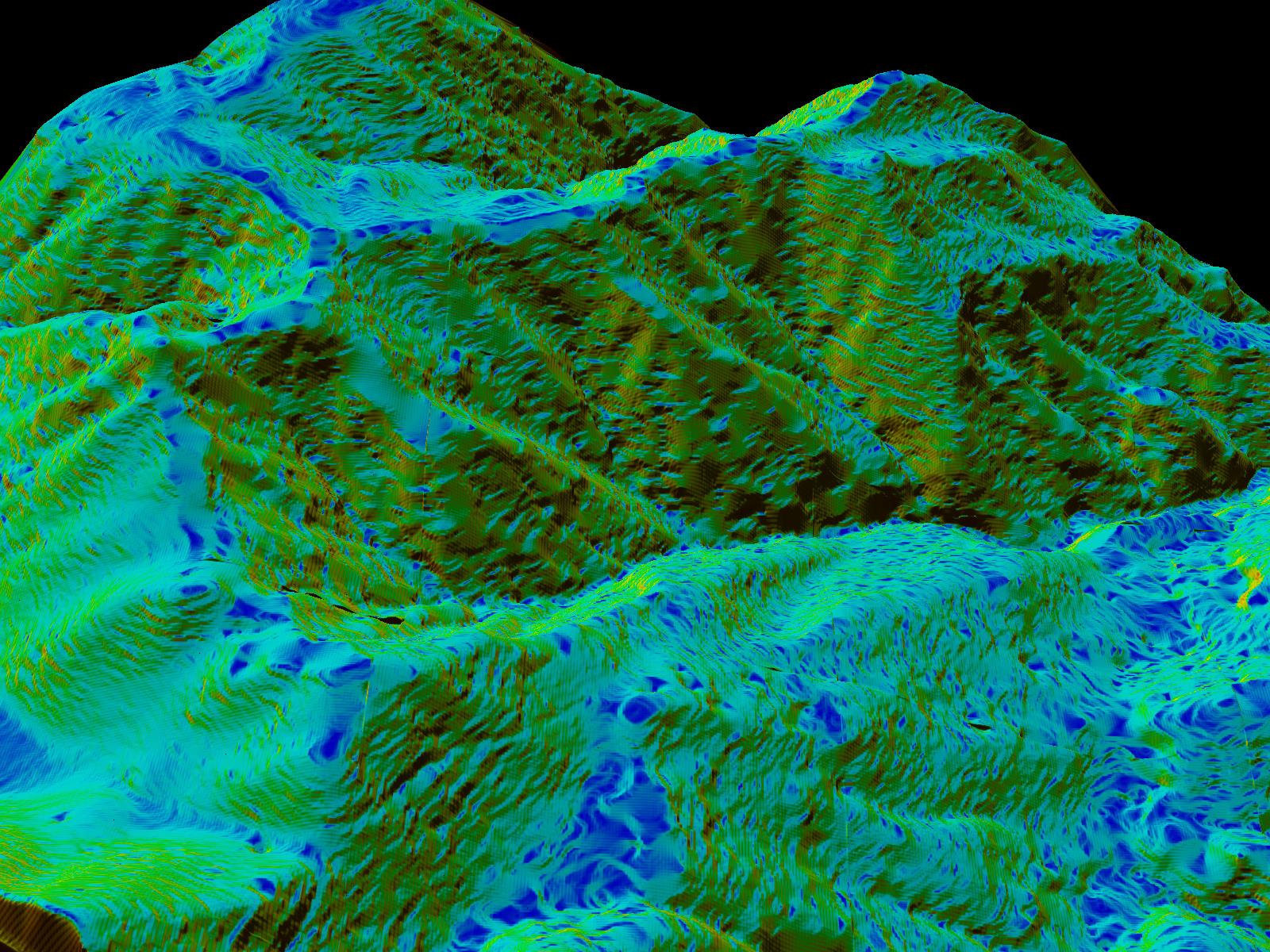
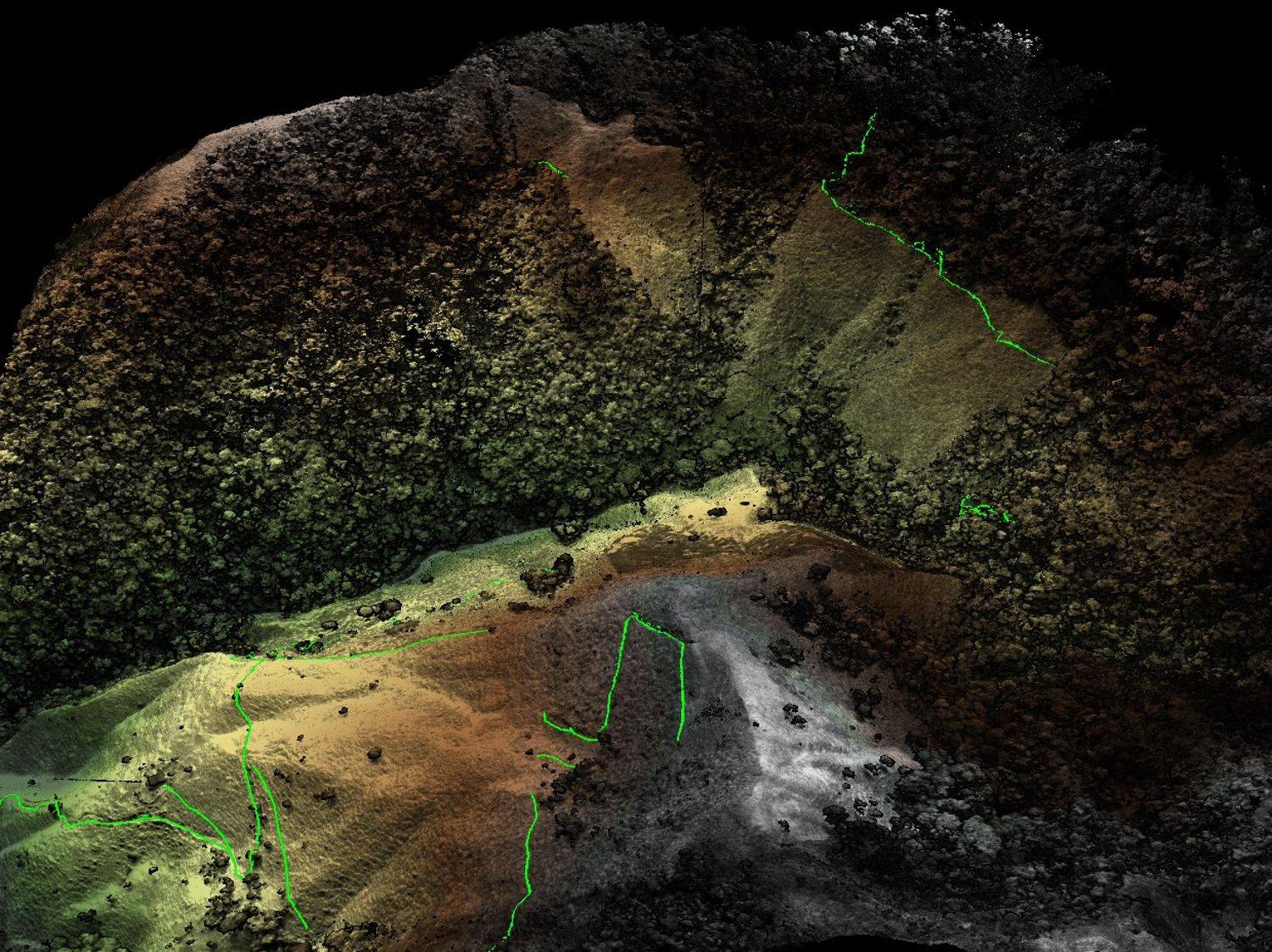
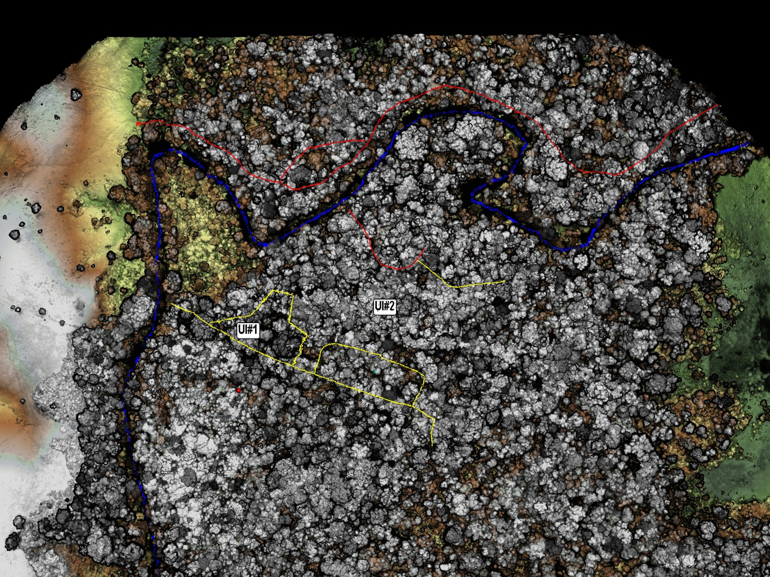
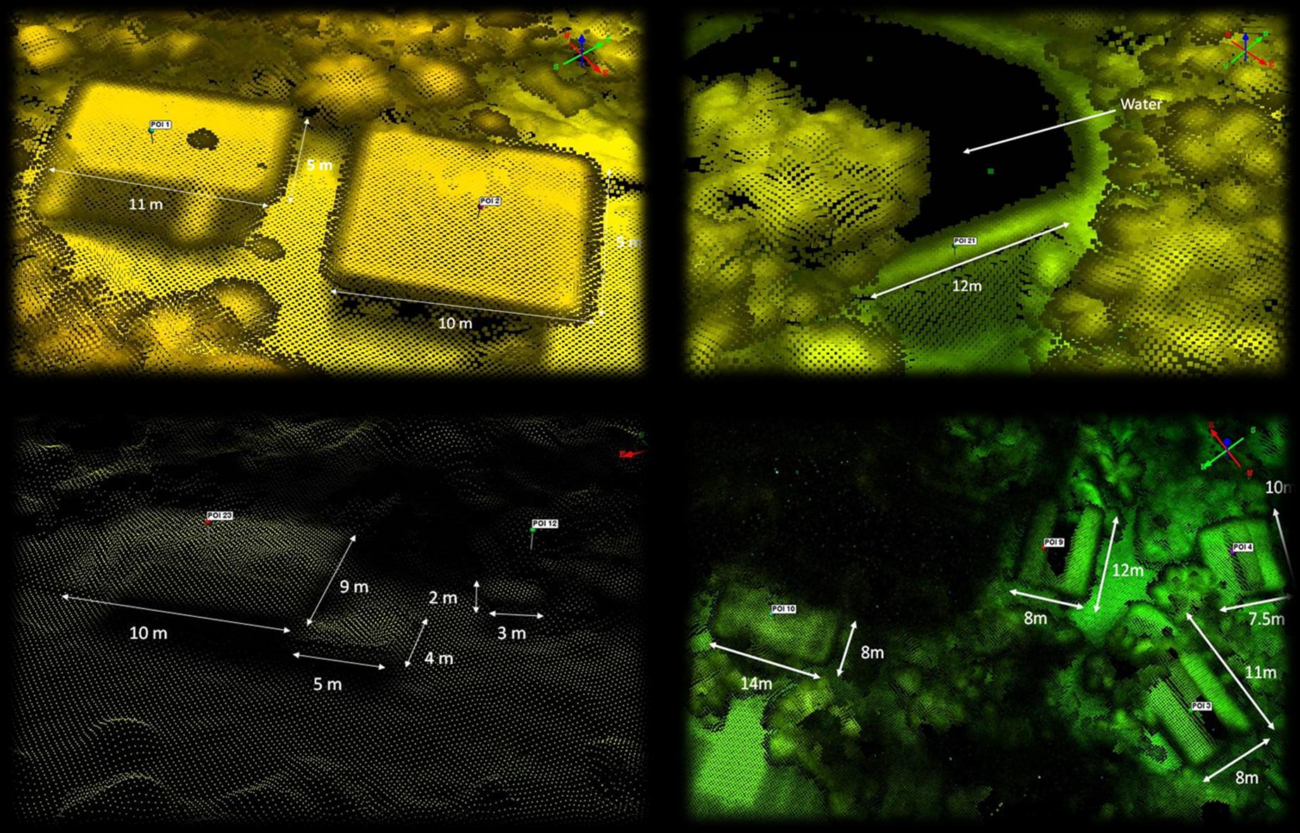
- The final product is a three-dimensional (3D) data product of the area of interest
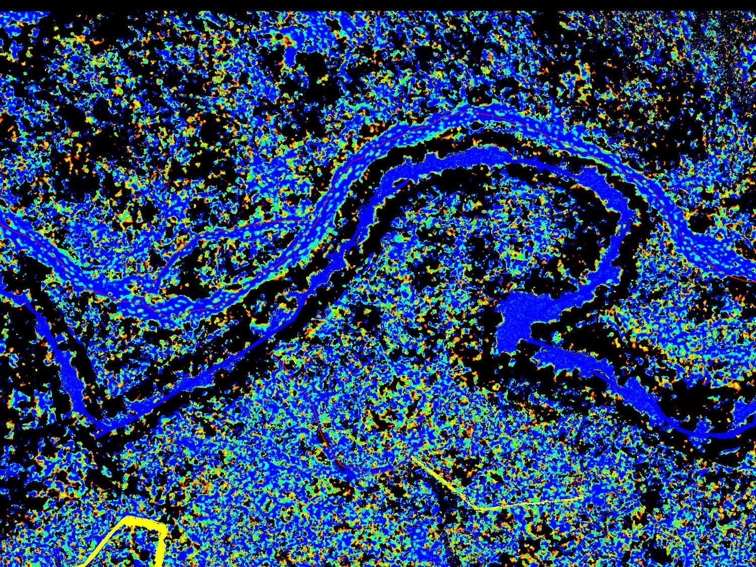
- Data is manipulated inherently in 3D to fully understand the attributes of the scene.
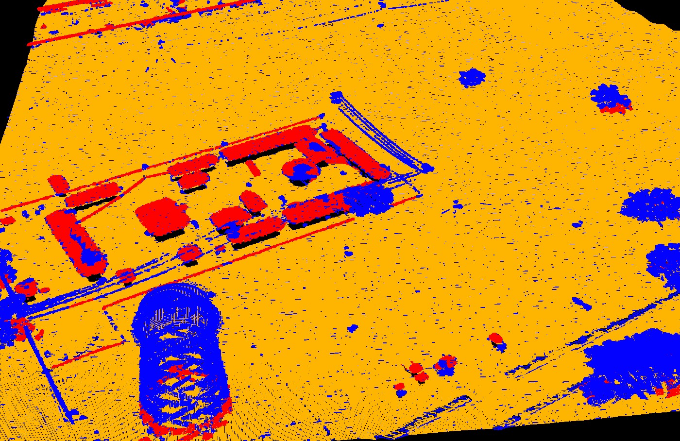
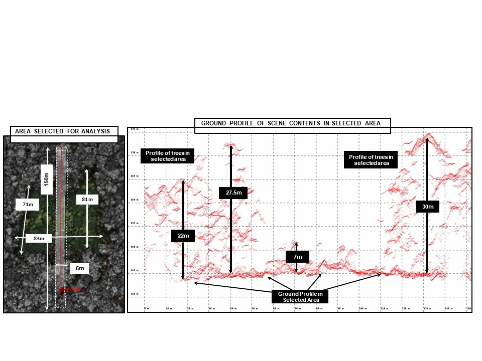
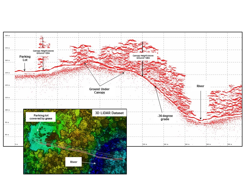
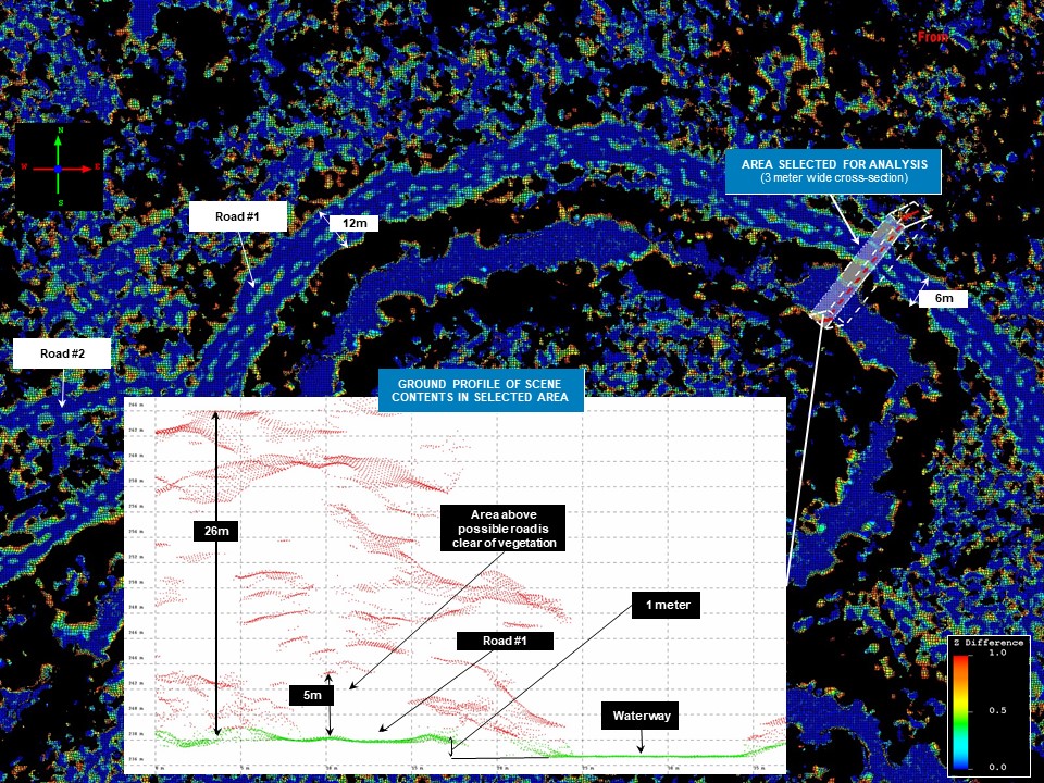
- Measurements that describe the scene can be done quick and with high precision.
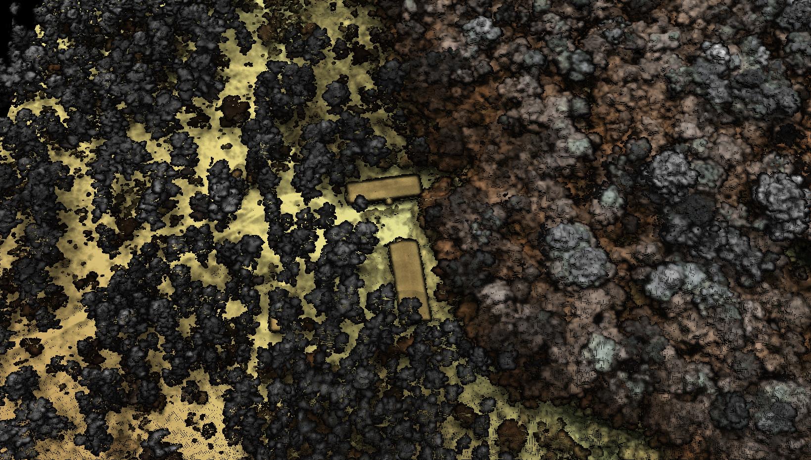
- Additional products like a map of the bare earth (including below the jungle) are easily derivable from the 3D data.
- LASER is “Eye Safe”, does not adversely affect people or animals on the ground.